


| 1924 Map |

|
1924 Map |
 |
 |
This is a "hot spot" map - click on the highlighted circles to display the details for the selected colliery.
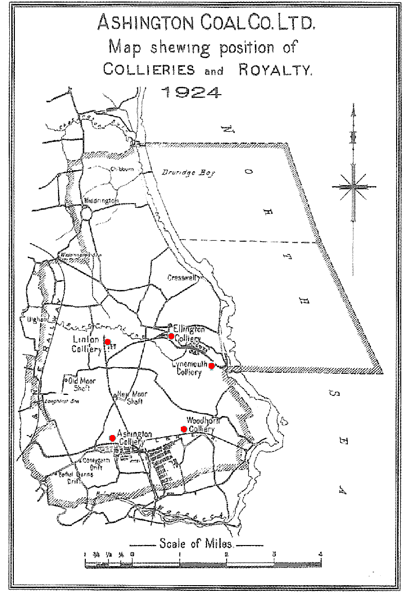
This is a "hot spot" map - click on the highlighted circles to display the details for the selected colliery.




 Contains public sector information licensed under the

