


| Cemetery Location |

|
Cemetery Location | ||
 |
 |
|||
Information on:
St. Stephen's Churchyard/Cemetery, Willington
Location: OS Map 93, Grid Ref NZ210353
 streetmap.co.uk to see the location on a map
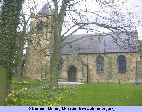
Image Ref: T-02206-04-0002
The Church is dedicated to St. Stephen, and occupies a retired position at Low Willington. It is a neat stone edifice in the Early Decorated style, erected in 1857, and enlarged and restored in 1868 and in 1873. It now consists of nave, chancel, north aisle, south porch, and square embattled tower containing a peal of five bells. In the chancel, the east window is filled with richly-stained memorial glass, in addition to which there are two smaller ones also filled with stained glass. The pews are of pitch pine, and provide seating of 350. The living is a rectory in the gift of the rector of Brancepeth, and of the yearly value of £300, held by the Rev. Thomas Urmson, M.A. The Rectory is a good residence, pleantly situated on the opposite side of the road.
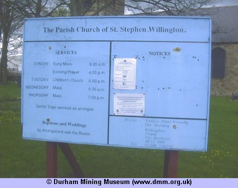
Image Ref: T-02205-04-0002
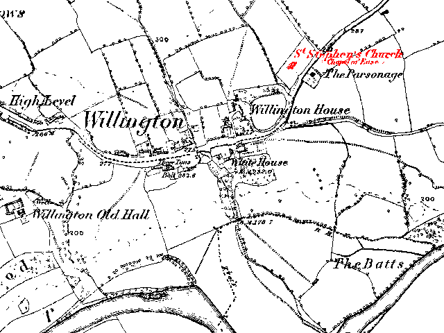
Map from the 1860's
 |
 |
| Sources | |
|
|
- Church/Cemetery photograph (T-02205-04-0002) © Kev Duncan
- Church/Cemetery photograph (T-02206-04-0002) © Kev Duncan
- History, Topography, and Directory of the County Palatine of Durham by Francis Whellan. Second edition published in 1894.
- Ordnance Survey Maps



 Contains public sector information licensed under the

