


| Cemetery Location |

|
Cemetery Location | ||
 |
 |
|||
Information on:
St. Mary the Virgin Churchyard, West Rainton
Location: OS Map 88, Grid Ref NZ323469
 streetmap.co.uk to see the location on a map
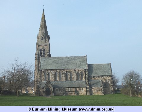
Image Ref: T-07956-12-0009
The Church, dedicated to St. Mary, is a fine stone building, in the French Gothic style, erected in 1864, on the site formerly occupied by a small chapel, built in 1825. The church consists of nave, aisles, and chancel, with a tower and spire at the north-west angle. The total cost of the church itself was £6000. The tower and spire, which is 130 feet high, was added in 1877, and was the gift of Sir George Elliott, in memory of his daughter. The chancel contains a beautiful though somewhat highly coloured reredos of mosaic work by Salviati, erected to the memory of Rev. R. H. Poole, a former rector; the centre-piece represents our Lord, with an angel in adoration on either side. The nave, as well as the chancel, is remarkably lofty, and the roof of high pitch, by which means a clerestory of full height is obtained. The aisles are divided from the nave by plain, massive, pointed arches, supported upon cylindrical pillars with square capitals. The east and west windows are filled with stained glass, as is also the south window f the chancel. In the north wall of the tower is a tablet, with the date and name of the donor of the tower and spire cut upon it, which is especially interesting from the fact that this piece of granite was brought from the Great Pyramid, Ghizeh, by permission of Ismail Pasha, Khedive of Egypt, by Sir G. Elliott. The church stands well from the road within a spacious burial-ground, and will seat 500. The living is a rectory, valued at £405, in the gift of the Bishop of Durham, and in the incumbency of the Rev. George Dale Copeland, B.D. The rectory is a spacious residence, about half-a-mile east of the church, on the high road.
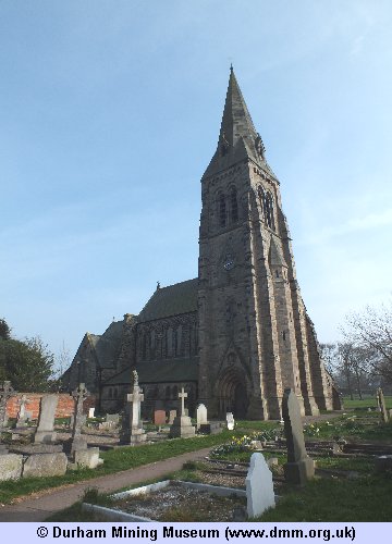
Image Ref: T-07958-12-0009
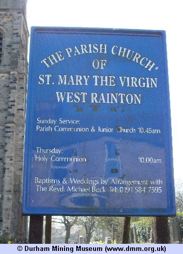
Image Ref: T-07959-12-0009
 |
 |
| Sources | |
|
|
- Church/Cemetery photograph (T-07956-12-0009) © Roy Lambeth
- Church/Cemetery photograph (T-07958-12-0009) © Roy Lambeth
- Church/Cemetery photograph (T-07959-12-0009) © Roy Lambeth
- History, Topography, and Directory of the County Palatine of Durham by Francis Whellan. Second edition published in 1894.
- Ordnance Survey Maps



 Contains public sector information licensed under the

