


| Cemetery Location |

|
Cemetery Location | ||
 |
 |
|||
Information on:
Cemetery, Whitburn
Location: OS Map 88, Grid Ref NZ407622
 streetmap.co.uk to see the location on a map
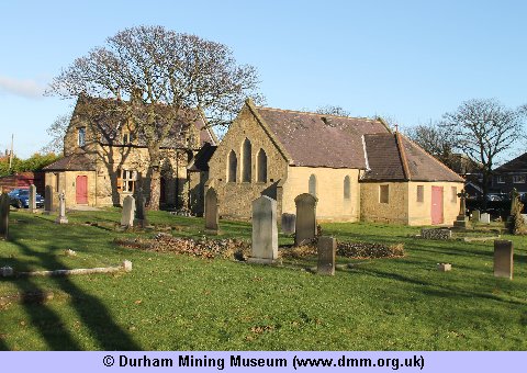
Image Ref: T-08045-12-0002
The Cemetery of the parish is situated a little to the north of the village, and was opened in 1887, the land, four acres, being purchased from the Ecclesiastical Commissioners. It is tastefull laid out, having in the centre a good stone house for the superintendent, with a board room for the Burial Board. The total cost was £1200.
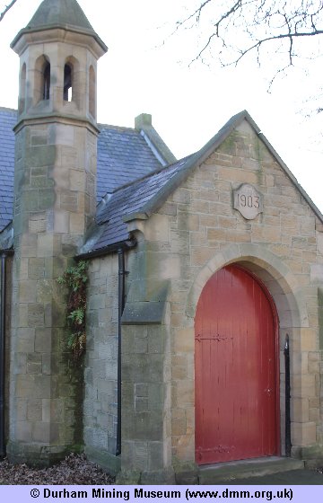
Image Ref: T-08046-12-0002
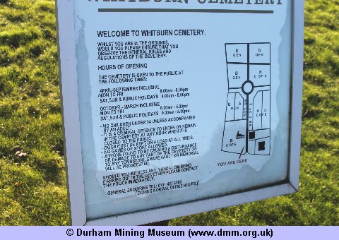
Image Ref: T-08044-12-0002
Image Ref: T-00329-00-0002
 |
 |
| Sources | |
|
|
- Church/Cemetery photograph (T-00329-00-0002) © Kev Duncan
- Church/Cemetery photograph (T-08044-12-0002) © Kev Duncan
- Church/Cemetery photograph (T-08045-12-0002) © Kev Duncan
- Church/Cemetery photograph (T-08046-12-0002) © Kev Duncan
- History, Topography, and Directory of the County Palatine of Durham by Francis Whellan. Second edition published in 1894.
- Ordnance Survey Maps



 Contains public sector information licensed under the

