


| Cemetery Location |

|
Cemetery Location | ||
 |
 |
|||
Information on:
St. Thomas Churchyard, Stanley Crook
Location: OS Map 92, Grid Ref NZ159380
 streetmap.co.uk to see the location on a map
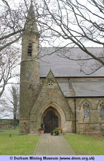
Image Ref: T-08806-13-0002
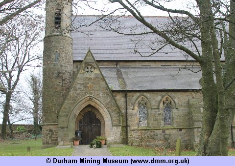
Image Ref: T-08807-13-0002
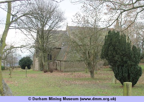
Image Ref: T-08808-13-0002
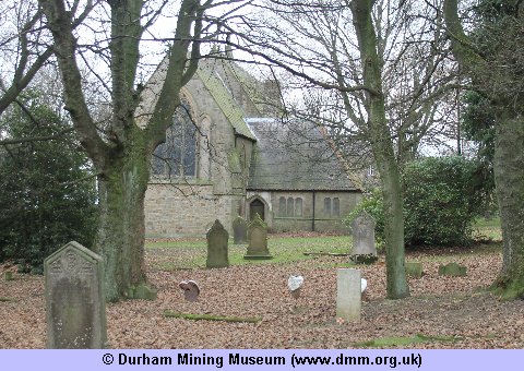
Image Ref: T-08809-13-0002
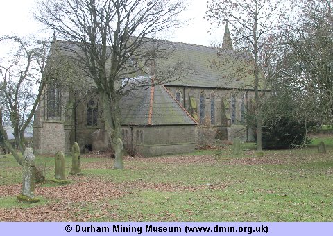
Image Ref: T-08810-13-0002
 |
 |
| Sources | |
|
|
- Church/Cemetery photograph (T-08806-13-0002) © Kev Duncan
- Church/Cemetery photograph (T-08807-13-0002) © Kev Duncan
- Church/Cemetery photograph (T-08808-13-0002) © Kev Duncan
- Church/Cemetery photograph (T-08809-13-0002) © Kev Duncan
- Church/Cemetery photograph (T-08810-13-0002) © Kev Duncan
- Ordnance Survey Maps



 Contains public sector information licensed under the

