


| Cemetery Location |

|
Cemetery Location | ||
 |
 |
|||
Information on:
St. Helen's Parish Church/Cemetery, Kelloe
Location: OS Map 93, Grid Ref NZ345365
 streetmap.co.uk to see the location on a map
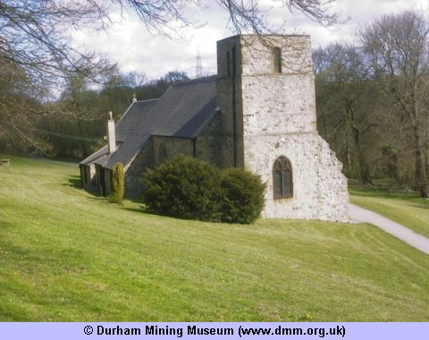
Image Ref: T-02059-03-0002
The Church, dedicated to St. Helen, stands in a deep valley to the north of Kelloe Beck. It is an ancient structure, consisting of nave, with chapel on the north side ; chancel, south porch, and Norman tower at the west end, containing two bells, one of which is of pre-Reformation times. The church was restored in 1854, at a cost of £600, during which time several Late Perpendicular windows were inserted, the roof repaired, the interior renovated, and reseated in pitch pine, and the walls of the nave plastered. Within the chancel rails are three sculptured grave-covers, probably of the thirteenth century. On the north wall of the chancel is fixed a cross, a fine specimen of Norman art, on which is a representation of an angel indivating to St. Helen in a vision the place where the True Cross was to be found. On the arms of the cross are the words, IN HOC VINCES. This cross had formerly been broken, and the pieces built in different parts of the walls, but all have now been recovered and carefully fitted together. "John Fitz-Henry be Kellaw, and Elizabeth his sister, by indenture with Thomas Hoton, chaplain, in 1347, founded a chantry at the altar of the blessed Mary in the church of Little Kellaw, for the daily celebration of Mass for the good estate of the same John and Elizabeth, and for the souls of their parents and all the parishioners of Kellaw." In 1352 this family appropriated all their lands in Thornlaw, of £10 value, to the support of this cantry. The parish register commences in 1693. The living is a vicarage, valued in the Liber Regis at £20 ; gross income, £1000, with 250 acres of glebe. The tithes were commuted in 1839 ; aggregate amount, £175, 15s. 7d. Patron, the Bishop of Durham ; vicar, the Rev. William Richard Burnet, M.A., Hon. Canon of Durham and rural dean.
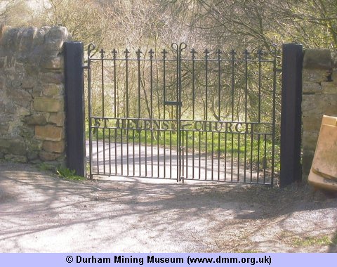
Image Ref: T-02058-03-0002
 |
 |
| Sources | |
|
|
- Church/Cemetery photograph (T-02058-03-0002) © Kev Duncan
- Church/Cemetery photograph (T-02059-03-0002) © Kev Duncan
- History, Topography, and Directory of the County Palatine of Durham by Francis Whellan. Second edition published in 1894.
- Ordnance Survey Maps



 Contains public sector information licensed under the

