


| Cemetery Location |

|
Cemetery Location | ||
 |
 |
|||
Information on:
St. George's Churchyard, Fatfield
Location: OS Map 88, Grid Ref NZ303540
 streetmap.co.uk to see the location on a map
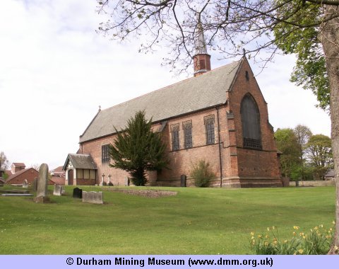
Image Ref: T-06749-10-0002
The Church, which is well situated on a slight eminence, is a neat brick building with stone dressing, in the Early English style, having nave, chancel, and north transcept, surmounted by a slender spiral belfry. The interior is well fitted, and provides seating for 250. The font is a large stone basin, bearing the arms of the Lambtoms, Lumleys, Hedworths, and D'Arcys. The church was built by the Earl of Durham in 1879, and is dedicated to St. George. The living is in the gift of the Earl of Durham, and endowed by the Ecclesiastical Commisioners, the Rev. Samuel Reeman, M.A., being the present incumbent. The vicarage stands about a quarter of a mile from the church , and is a good brick residence, which cost, in 1882, £2000, the donor of the church giving £500.
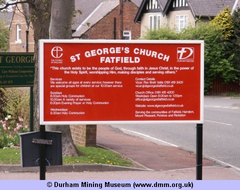
Image Ref: T-06746-10-0002
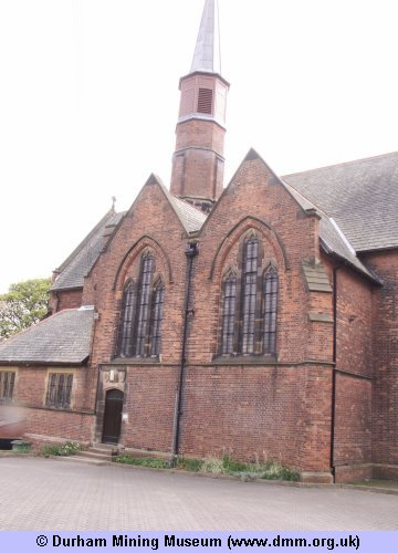
Image Ref: T-06747-10-0002
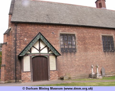
Image Ref: T-06748-10-0002
 |
 |
| Sources | |
|
|
- Church/Cemetery photograph (T-06746-10-0002) © Kev Duncan
- Church/Cemetery photograph (T-06747-10-0002) © Kev Duncan
- Church/Cemetery photograph (T-06748-10-0002) © Kev Duncan
- Church/Cemetery photograph (T-06749-10-0002) © Kev Duncan
- History, Topography, and Directory of the County Palatine of Durham by Francis Whellan. Second edition published in 1894.
- Ordnance Survey Maps



 Contains public sector information licensed under the

