


| Cemetery Location |

|
Cemetery Location | ||
 |
 |
|||
Information on:
St. James Churchyard, Burnopfield
Location: OS Map 88, Grid Ref NZ165568
 streetmap.co.uk to see the location on a map
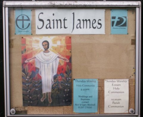
Image Ref: T-03027-06-0064
The Church is situated at The Leazes, and is a good stone edifice in the Early English style, dedicated to St. James. It consists os nave with south aisle, chancel, and organ-chamber on the south, with vestry on the north, having a turreted belfry at the east end of the nave.The church will seat 300, and was erected in 1873, at a cost of £2600, the site being the gift of Mr. Huntley. The interior is very neat and fitted in pitch pine, and the aisle is divided from the nave by an arcade of four pointed arches, of two chamfered orders, supported by cylindrical pillars. The east window, filled with stained glass, is a memorial to the late Richard Hodgson Huntley, esq.,; that in the south-west wall was inserted to the memory of John James, son of Mr. William Braidford of Lintz Colliery, by the workpeople. There is also a handsome mural tablet, to the memory of H. W. Watson, son of Mrs. Watson of Burnopfield House. The living is a vicarage, valued at £300, in the patronage of the Bishop of Durham, and in the incumbency of the Rev. George Thomas Dunne, M.A. The vicarage occupies a commanding situation on the opposite side of the road.
 |
 |
| Sources | |
|
|
- Church/Cemetery photograph (T-03027-06-0064) © Bob Dunn
- History, Topography, and Directory of the County Palatine of Durham by Francis Whellan. Second edition published in 1894.
- Ordnance Survey Maps



 Contains public sector information licensed under the

